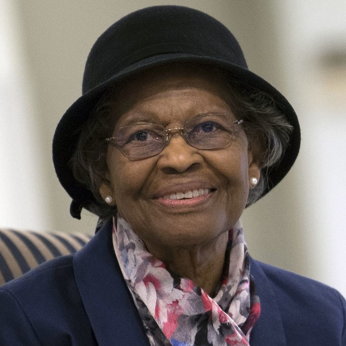
Gladys West
A sharecropper's daughter whose model of the Earth's shape made satellite navigation possible
Gladys Mae Brown grew up on a small farm in Dinwiddie County, Virginia, where her family picked cotton, corn and tobacco. She decided early that she did not want to spend her life in the fields or the tobacco factory, and worked out that the top two students at her school won scholarships to Virginia State College. She finished first. She graduated in mathematics in 1952, taught school for two years, and went back for a master's degree.
In 1956 she was hired by the Naval Proving Ground at Dahlgren, Virginia, one of four Black employees, and only the second Black woman. She began as a human computer and then programmed the base's large machines, working on satellite orbits and, in the 1970s, on Seasat, the first satellite to measure the height of the oceans by radar.
Her main task was the hardest one in the field: the Earth is not a smooth sphere, and to know where a satellite is, or to fix a position from it, you need an exact model of its lumpy shape and gravity. West spent years refining that model, checking the calculations by hand and programming an IBM computer to process satellite data, until it was accurate to within a few metres. That geoid is the base on which the Global Positioning System is built.
She retired in 1998 after 42 years, survived a stroke and completed a PhD at 88. Her role in GPS became widely known only in 2018.