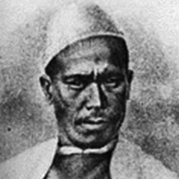
Nain Singh Rawat
A village schoolteacher who mapped Tibet in secret by counting his steps on a string of prayer beads
Nain Singh Rawat was born in Milam, a Bhotiya village high in the Kumaon Himalaya near the Tibetan border, into a community that traded across the passes. He had some schooling, spoke Tibetan, and was working as the village schoolmaster in his thirties when the Survey of India came looking for local men to do what its own officers could not.
Tibet was closed to Europeans, and those who tried to enter were turned back or killed. Captain Thomas Montgomerie trained a small number of Indian recruits, whom he called pundits, to survey in disguise. Nain Singh learned to walk with a pace of exactly 33 inches whatever the ground, to count his steps on a rosary of 100 beads instead of the usual 108, to hide notes inside a prayer wheel and a thermometer inside his walking staff, and to take star sightings with a sextant at night. In 1865 he crossed into Tibet dressed as a Ladakhi trader, was robbed and abandoned by his companions, and reached Lhasa in January 1866. He stayed for three months, established the city's latitude and altitude for the first time, and traced the route of the Tsangpo river on the way home, counting 2,500,000 paces.
He made further journeys across western Tibet and in 1874 walked from Leh to Lhasa and on to Assam, recording routes, rivers, and the gold fields of Thok Jalung. The Royal Geographical Society awarded him its gold medal in 1877, and the government gave him a village and a pension. He retired to teach others and died in 1882.